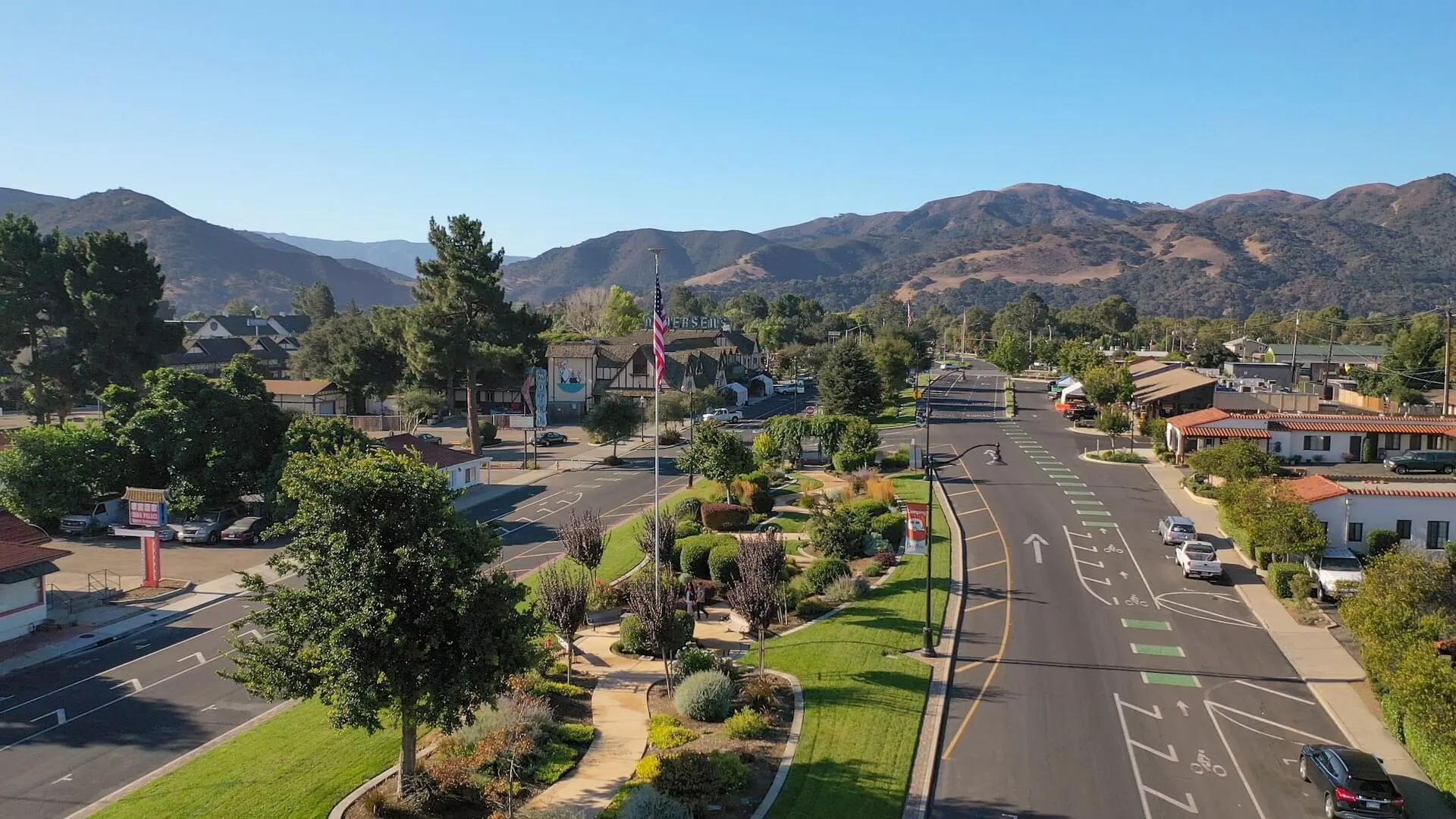
Toro Canyon is an unincorporated stretch of coastal foothill between Summerland and Carpinteria, a landscape of avocado orchards, estate parcels, and canyon roads rather than commercial streets. Exchanges that begin here are almost always exchanges out of land or rural rental holdings, and the planning work centers on preparing the relinquished parcel for sale while building a replacement list in markets that actually have income property to buy.
Orchards, Estates, and Canyon Parcels
The area's holdings run from working avocado and lemon orchards on the lower slopes to large residential estates higher up the canyons, with Highway 192 — East Valley Road — threading through as the main east-west route. Parcels are large, irregular, and frequently divided by easements that date back generations. Some carry agricultural income from orchard leases; others produce rent from a single residence or guest structure. Ownership tenures run long, and parcels frequently pass between generations before they ever reach a listing service, so the sales that do occur set the only pricing evidence the area gets for years at a time — a fact that shapes both appraisal work and buyer negotiations. There is no retail or office core, and the nearest conventional commercial inventory sits down the hill in Carpinteria or west toward Santa Barbara. That geography defines the exchange: the value being harvested lives on the mountain, and the income it buys will almost certainly live somewhere else.
Preparing a Canyon Parcel for Sale
The relinquished-property side usually needs more lead time than owners expect. Items worth resolving before the exchange clock starts include:
- Recorded access easements and shared-road maintenance agreements
- Water source documentation for wells, shared systems, or district service
- Orchard lease terms and whether they survive a sale
- Fire-zone insurance history and defensible-space compliance
- Septic system condition and permit records
Debris-Flow Mapping and What It Does to Value
The canyons above this stretch of coast fall within mapped debris-flow and high-fire-hazard zones, and the 2018 events on adjacent watersheds changed how insurers and county reviewers treat the entire foothill belt. Buyers and their lenders now routinely pull hazard-zone maps during escrow, and coverage pricing on structures near drainage paths can move a sale price materially. Sellers who assemble this record in advance — hazard designations, any mitigation work, insurance claims history — keep escrows from stalling inside the exchange timeline.
Where the Replacement Search Goes
With no local commercial stock, identification lists from Toro Canyon sales typically name income property in Carpinteria or Santa Barbara, agricultural land in the Santa Ynez Valley for owners who want to stay in farming, or a Delaware Statutory Trust position for owners stepping back from direct management entirely. The three-property rule fits most of these exchanges, with each named candidate carrying its own valuation and financing plan.
Splitting Value Between Dirt and Improvements
On a canyon parcel, the appraisal's allocation between land and improvements is not an academic exercise. The land component carries the hazard-zone and access questions; the improvements — a residence, barns, irrigation infrastructure, orchard plantings — carry the depreciation history that determines recapture exposure when the parcel is sold. Orchard trees themselves occupy an odd middle ground, treated as depreciable property once they reach production, so an orchard that has been farmed for decades may have more accumulated depreciation embedded in it than the owner remembers, and that recapture math flows into the exchange planning whether or not the replacement property is agricultural.
Sparse comparables make the allocation contestable, which cuts both ways: a well-documented allocation supported by the appraiser's reasoning survives scrutiny, while a round-number split invites it. Owners should have their accountant reconcile the depreciation schedules against the proposed allocation before the sale closes, since fixing a mismatch afterward means amending returns rather than adjusting a contract exhibit.
Sequencing the Team
The qualified intermediary must be in place before the relinquished parcel closes so proceeds never touch the seller's account, and the 45-day identification and 180-day closing deadlines run from that closing date regardless of how complicated the parcel was to sell. Orchard income, land-versus-improvement allocation, and any boot from a smaller replacement all carry tax consequences the investor should confirm with a tax advisor before the identification letter is signed.
Common 1031 Exchange Questions
Can a working avocado orchard be exchanged for a commercial building?
Generally yes — real property held for investment or productive use is broadly like-kind to other investment real property, though the investor should confirm treatment of any personal-use portion with a tax advisor.
What most often delays the sale of a Toro Canyon parcel?
Unrecorded or disputed access easements and incomplete water documentation. Both are solvable, but they take time that should be spent before the exchange deadlines begin running.
How does debris-flow zoning affect a sale here?
Buyers' insurers and lenders review hazard maps during escrow, and structures near drainage paths can face higher coverage costs, so sellers benefit from assembling hazard and mitigation records up front.
Do exchange deadlines pause if the relinquished sale is complicated?
No. The 45-day and 180-day periods run from the closing of the relinquished property with no extensions for title or insurance complications, which is why pre-sale preparation matters.
What do owners here typically buy as replacement property?
Income buildings in Carpinteria or Santa Barbara, Santa Ynez Valley agricultural land for those staying in farming, or DST positions for owners exiting hands-on management.